When you click on links to various merchants on this site and make a purchase, this can result in this site earning a commission. Affiliate programs and affiliations include, but are not limited to, the eBay Partner Network.
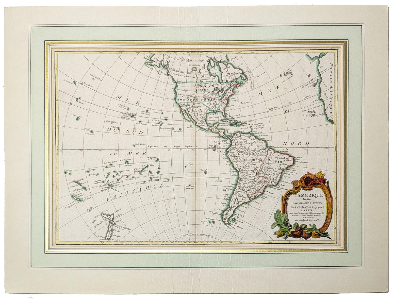
Original1783 copperplate engraved map titled L'Amérique divisée par grands États by the renowned French cartographer Jean Janvier, p;ublished in Paris by Jean Lattré. Issued during the monumental year of the Treaty of Paris, this historic map captures North and South America at a critical geopolitical turning point following the conclusion of the American Revolutionary War. Notably, the map features the famous cartographic misconception of the "Mer de l'Ouest" (Sea of the West)—a massive hypothetical inland sea cutting into the Pacific Northwest—making it a fascinating conversation piece for collectors.
Cartographer: Jean Janvier
Publisher: Jean Lattré (Paris)
Year Published: 1783 (Dated on cartouche)
Subject: North and South America / Revolutionary War Era Geopolitics
Authentic copperplate engraving with vintage hand-coloring
Features: Elegant decorative title cartouche, detailed coastal features, and political boundaries.
***Good condition. French Mat - Map is mounted/taped to matting. Minor foxing/staining (see pictures) - Matting has crease marks top and bottom middle. **See all pictures for condition issues. Matting size: 18" x 24 1/4" in.