When you click on links to various merchants on this site and make a purchase, this can result in this site earning a commission. Affiliate programs and affiliations include, but are not limited to, the eBay Partner Network.
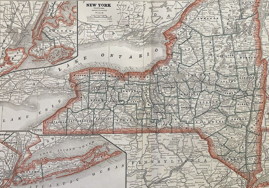
Antique atlas map of New YorkState, 1883, detailed to the county level with insets of Long Island and NewYork City/Brooklyn. From Cram\'s Family Atlas of the World.1883 was a landmark year for the state this map depicts: the Brooklyn Bridge, then the longest suspension bridge in the world, opened to the public that same year, physically connecting New York City\'s two largest boroughs for the first time. This map captures New York on the eve of the Gilded Age\'s full flowering, with Castle Garden — not yet Ellis Island — still the nation\'s primary gateway for immigration.
Sheet measures 21.75 x13.75\". Condition: Very Fine. Reverse: blank. The maps appear slightly darkerand more toned in the images than they really are. This is common whenphotographing maps.
Genuine antique, guaranteedauthentic as described. Atlas cover page is for descriptive purposes only andis not included in this sale.