When you click on links to various merchants on this site and make a purchase, this can result in this site earning a commission. Affiliate programs and affiliations include, but are not limited to, the eBay Partner Network.
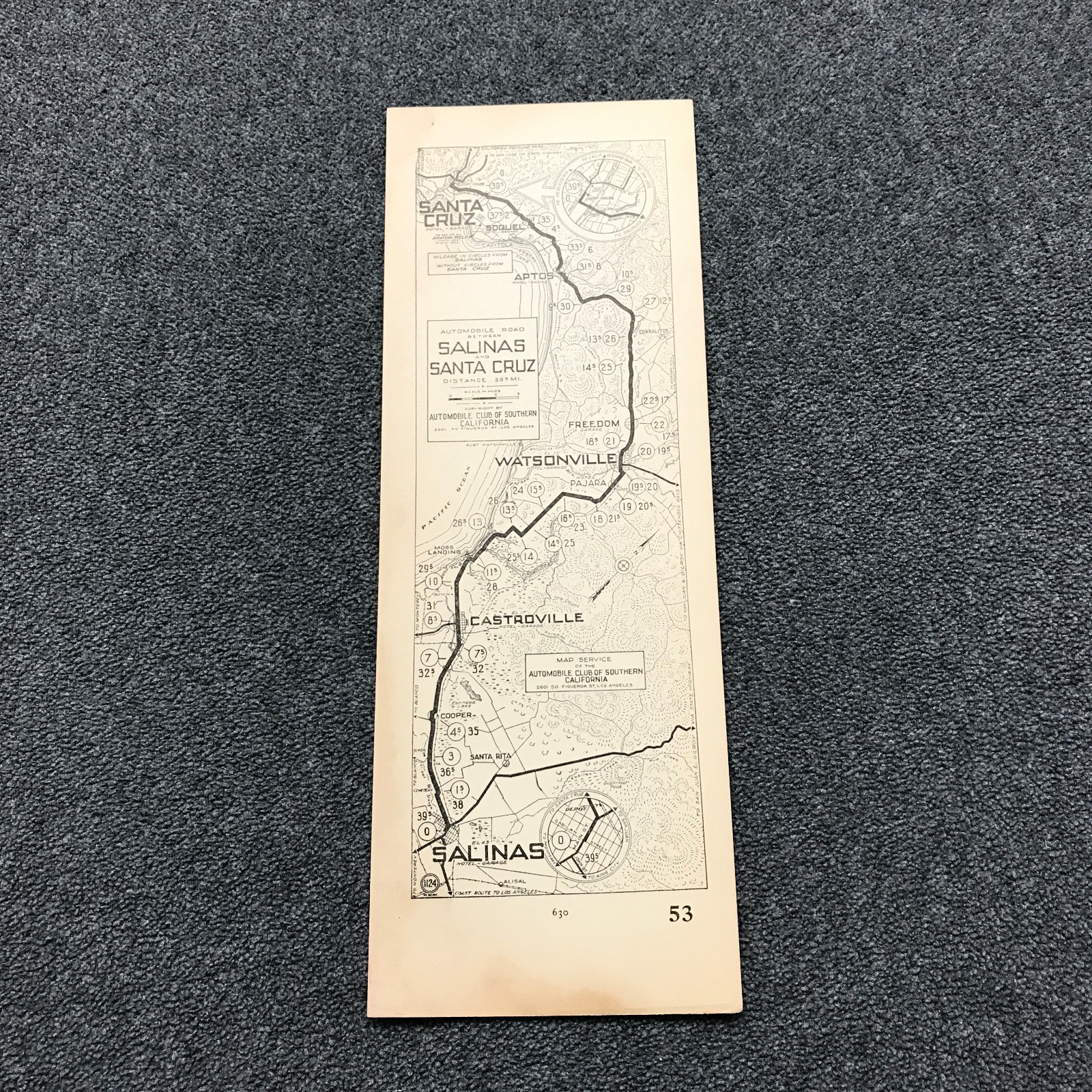
Automobile Club of Southern California strip road map No. 53 covering the 39.5-mile route from Salinas to Santa Cruz via Castroville, Watsonville, Aptos, and Soquel. Includes mileage markers, connecting roads, and street insets for Salinas and Santa Cruz. A piece of early California motoring history for map collectors.
The Publication Date is approximate, not exact.
See photos for the exact condition you will receive.
Buy It Now to add this Monterey Bay route map to your collection.