When you click on links to various merchants on this site and make a purchase, this can result in this site earning a commission. Affiliate programs and affiliations include, but are not limited to, the eBay Partner Network.
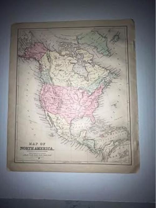
Step back in time with this stunning original antique map of North America, dating back to 1875. This beautifully preserved piece of cartographic history features delicate hand-applied coloring that highlights the various regions, territories, and nations of the continent as they existed in the 19th century. The map showcases the United States, Canada, Mexico, Central America, and the Caribbean, complete with period-accurate borders, place names, and geographic features such as Hudson Bay, the Gulf of Mexico, and the Caribbean Sea. Measuring 10 x 12 inches, this map is an ideal size for framing and displaying as a unique piece of wall art or as a prized addition to any antique or map collection. The aged paper and hand-colored details give it an authentic charm that simply cannot be replicated. Whether you are a history enthusiast, a collector of antique maps, or simply someone who appreciates fine historical artifacts, this rare 1875 map of North America is a remarkable find that offers a fascinating glimpse into the past.