When you click on links to various merchants on this site and make a purchase, this can result in this site earning a commission. Affiliate programs and affiliations include, but are not limited to, the eBay Partner Network.
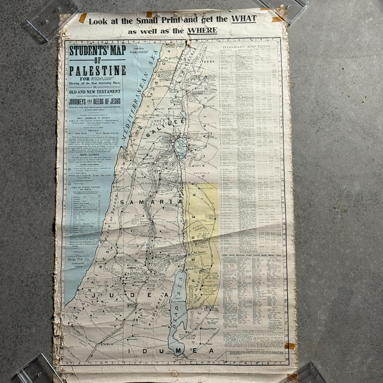
Original antique Students’ Map of Palestine, dating to approximately 1905.
Arranged in chronological order by Andrew P. Stout and published by The Meigs Publishing Co. of Indianapolis, Indiana.
Large instructional / biblical geography map made for tourists of Palestine, adult Bible teachers and students. Includes Old and New Testament locations, routes, distances, journeys and deeds of Jesus, towns visited, biblical references and extensive printed historical information.
This is an original period map, not a modern reproduction.
Approximate size as shown in the photos is about 21" wide x 35" long. Please use the measurement photos for exact size.
Condition is heavily worn and distressed from age, display, rolling and storage. There is substantial edge wear and fraying, cracking, creasing, staining/discoloration, old tape and areas of loss. Original hanging/mounting components are incomplete/damaged as pictured. The map remains highly displayable as an authentic early-20th-century artifact, but it is being sold strictly in its present antique condition.
Please review every photo closely for exact condition, construction, markings, wear and completeness. Sold exactly as pictured.
Photos are part of the description.
Free shipping included.Returns accepted.
antique Palestine map, Holy Land map, biblical map, Bible geography, Andrew P Stout, Meigs Publishing, 1905 map, antique wall map, Christian ephemera, religious history