When you click on links to various merchants on this site and make a purchase, this can result in this site earning a commission. Affiliate programs and affiliations include, but are not limited to, the eBay Partner Network.
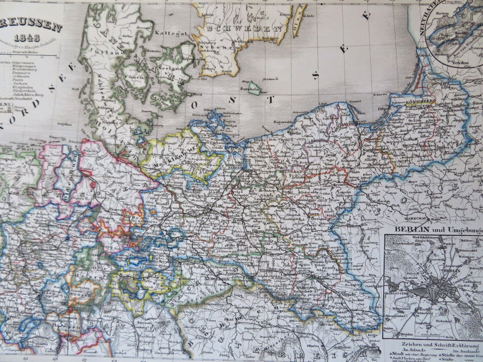
Kingdom of Prussia German Confederation Berlin Saxony 1848 Renner engraved map Kingdom of Prussia German Confederation Berlin Saxony 1848 Renner engraved map
Preussen.(Old Maps, 19th Century Maps, Europe, German Confederation, German, Kingdom of Prussia, Mecklenburg, Silesia, Holstein, Saxony, Berlin).Issued 1848, Hildburghausen by the Bibliographische Institut. Map by Renner.Mid 19th century engraved map with original hand color.
Well preserved, nice looking example with pleasing age patina.Original center fold as issued.
Sheet Measures c. 9 1/4\" H x 10 3/4\" W.Engraved Area Measures c. 8\" H x 10\" W.Cartographic Reference(s):
Tooley\'s Dictionary of Mapmakers, vol. 1.[R33798].