When you click on links to various merchants on this site and make a purchase, this can result in this site earning a commission. Affiliate programs and affiliations include, but are not limited to, the eBay Partner Network.
Brand: Mobil.
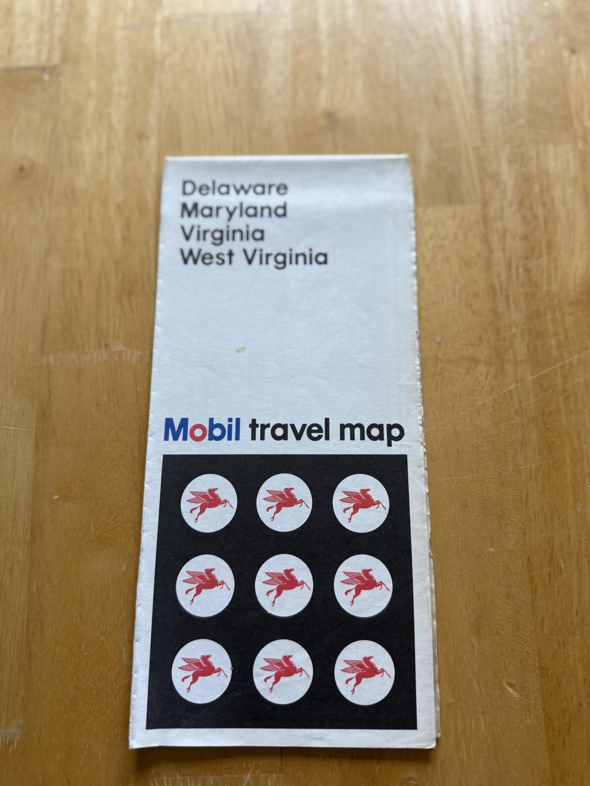
Item: Original 1971 Mobil travel map for Delaware, Maryland, Virginia, and West Virginia issued in the United States as part of Mobil\'s highway and travel map series.
Folded front cover features a clean white background with the state names \"Delaware Maryland Virginia West Virginia\" printed in black at the top, Mobil logo in blue and red above the words \"travel map,\" and a black panel displaying a grid of nine roundels with the red Pegasus emblem.
Reverse cover carries a colorful \"A FREE Travel Service... NDC INSTANT RESERVATIONS\" advertisement with illustrated telephone and reservation scenes, lists of toll-free numbers for different regions, and text describing the Mobil-sponsored reservation service.
Lower reverse panel promotes the \"Most complete Travel Guide of the United States 1971\" with copy noting seven regional editions, coverage of over 23,000 hotels, motels, and restaurants, and a small image of the Mobil Travel Guide booklet.
Unfolded interior presents a large multi-color highway map of Delaware, Maryland, Virginia, and West Virginia with adjacent portions of surrounding states, showing interstate and U.S. numbered routes, primary and secondary state highways, cities and towns, shaded relief and mountain areas, rivers, lakes, and coastal features including Chesapeake Bay and the Atlantic shoreline.
A left-hand legend and information panel headed \"Mobil Delaware - Maryland Virginia - West Virginia\" explains highway classifications, population categories, other map symbols, and highway markers, and includes a \"Discover America Best By Car\" graphic along with toll-road and mileage information.
Additional interior content features detailed mileage logs and tables, state capitals and county seat symbols, and notations for points of interest, rest areas, camp sites, and state parks and recreation areas.
The reverse side opens to several inset regional maps including Metropolitan Baltimore, Metropolitan Washington, the Hampton Roads area of Virginia, and Shenandoah National Park, each showing local highways, city street patterns, and numbered route connections.
Further panels provide a detailed Washington, D.C. street plan with key buildings and monuments labeled, along with extensive alphabetical city and town indexes and mileage tables for Delaware, Maryland, Virginia, and West Virginia.
This original Mobil gas and oil service-station travel map combines bold early-1970s graphic design with detailed regional cartography for collectors of petroleum advertising and vintage road maps.