When you click on links to various merchants on this site and make a purchase, this can result in this site earning a commission. Affiliate programs and affiliations include, but are not limited to, the eBay Partner Network.

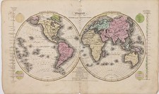
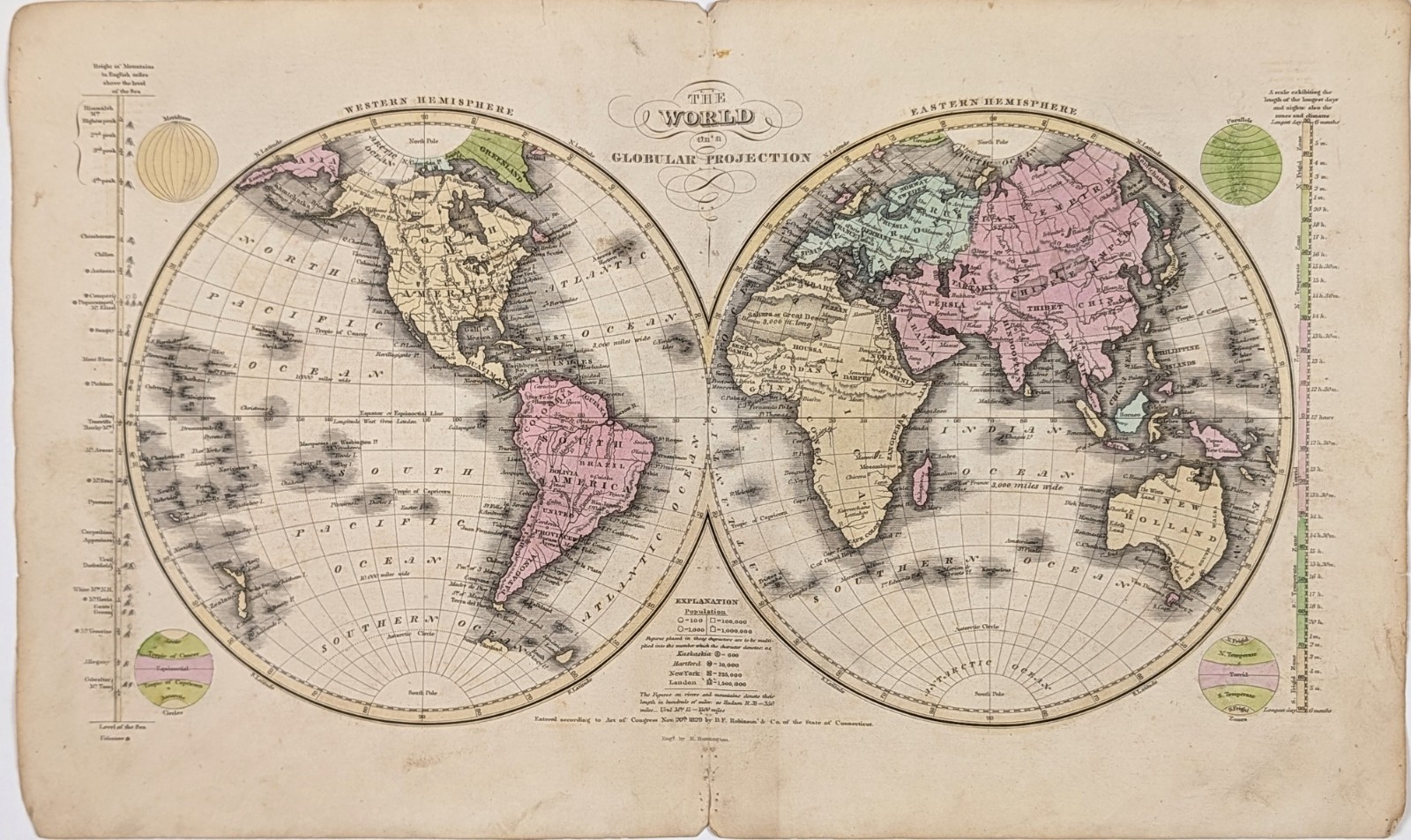
1829 World Map Eastern & Western Hemisphere United States - Europe - Africa:
$54.00
This product is an original 1829 antique World Map published by D.F. Robinson and measuring 19x11.25 inches. This historical map provides a detailed depiction of the world at that time, showcasing the cartographer's engraving skills and the cultural and political landscape of the era. Perfect for collectors or those interested in antique maps, this piece of cartographic history offers a unique perspective on the world during the early 19th century. Fair condition, center crease as issued, discoloration, pinholes at at center crease from binding, tears at top and bottom of crease.