When you click on links to various merchants on this site and make a purchase, this can result in this site earning a commission. Affiliate programs and affiliations include, but are not limited to, the eBay Partner Network.
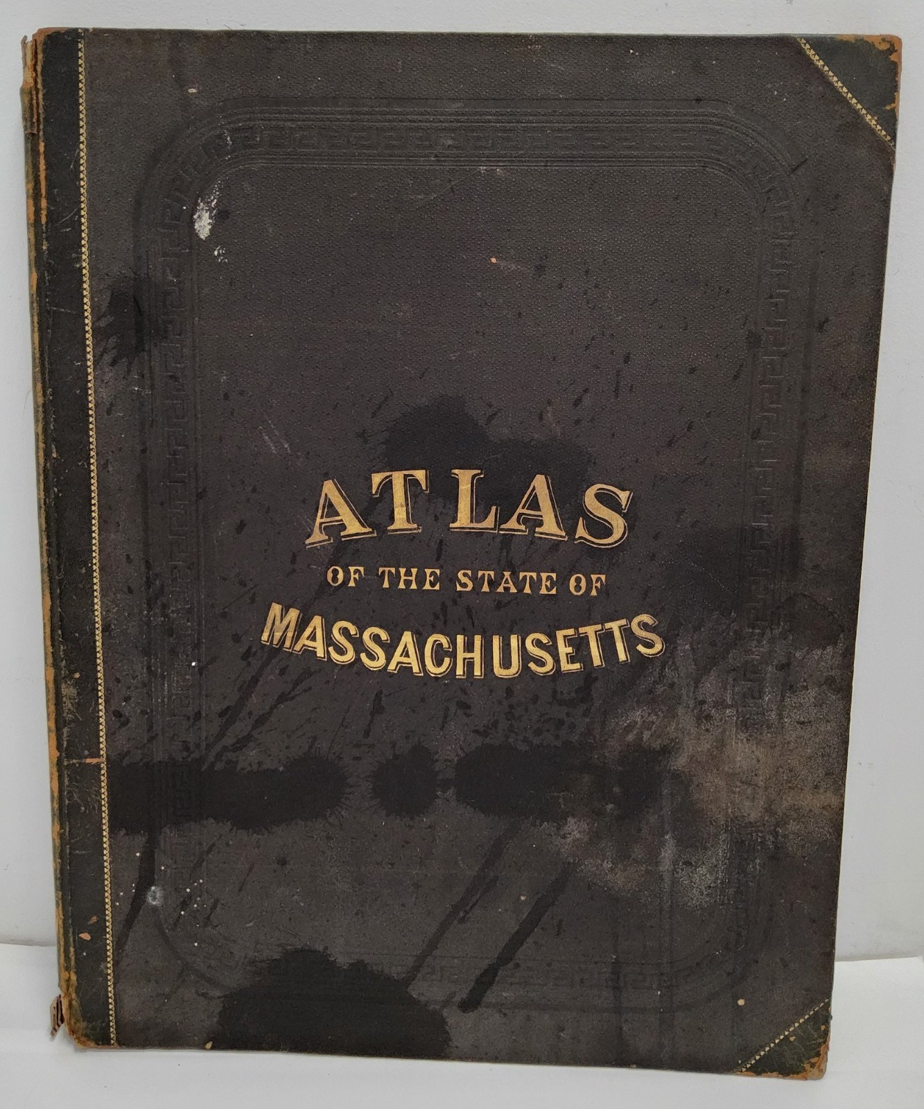
Official Topographical Atlas of Massachusetts, from Astronomical, Trigonometrical and Various Local Surveys; Compiled and Corrected by H.F. Walling & O.W. Gray., Boston. Published in 1871 by Stedman, Brown & Lyon. The book measures approximately 17 1/2\" long x 13 3/4\" wide, and has over 100 pages. There is obvious wear to the cover and spine. Pages have some toning from age.
Please refer closely to photos for condition. Sold as is, as shown. When in doubt, please ask questions!
See my other listings for more decorative collectibles!