When you click on links to various merchants on this site and make a purchase, this can result in this site earning a commission. Affiliate programs and affiliations include, but are not limited to, the eBay Partner Network.
Third Edition, Revised and Enlarged, containing notes of Orton’s second journey across the South American continent from Pará to Lima and Lake Titicaca.
Dedicated by the author to Charles Darwin.
An impressive account of exploration across South America, encompassing the Andes, Ecuador, Peru, Amazon basin and Amazon River, with extensive material on geography, geology, natural history, tropical vegetation, wildlife, indigenous peoples, settlements and travel.
One of the outstanding features of this edition is its large folding cartography. The volume contains two substantial folding maps, including the detailed “Map of Equatorial America” by James Orton and the large 1875 “The Marañon and its Tributaries” map. Both unfold to impressive size and contain extensive geographical and topographical detail.
The book is also profusely illustrated throughout, with numerous engraved illustrations and views depicting South American landscapes, tropical forests and vegetation, wildlife, peoples, architecture, archaeological subjects and scenes encountered during Orton’s travels. Particularly attractive images include the full-page tropical view “Palms on the Middle Amazons.”
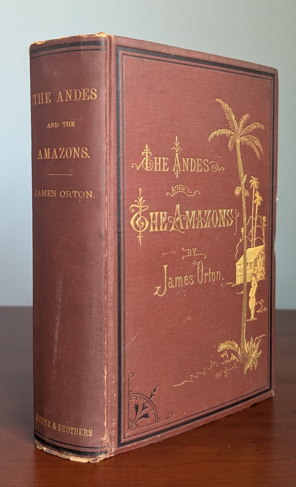
The volume retains its striking original publisher’s pictorial cloth binding, elaborately decorated in gilt with palms, tropical vegetation, a dwelling and figure, ornate lettering and black ruled ornamentation. The gilt remains exceptionally bright and crisp, making this an unusually attractive surviving example.
The interior is likewise remarkably well preserved, with clean pages, sharp printing and attractive illustrations. The folding maps remain an especially impressive component of the volume.
A superb combination of Victorian exploration, Amazon and Andean travel, natural history, ethnography, engraved illustration and 19th-century South American cartography, further distinguished by Orton’s dedication to Charles Darwin.
Please review all photographs carefully, as they form an important part of the description and show the binding, maps, illustrations and condition in detail.