When you click on links to various merchants on this site and make a purchase, this can result in this site earning a commission. Affiliate programs and affiliations include, but are not limited to, the eBay Partner Network.
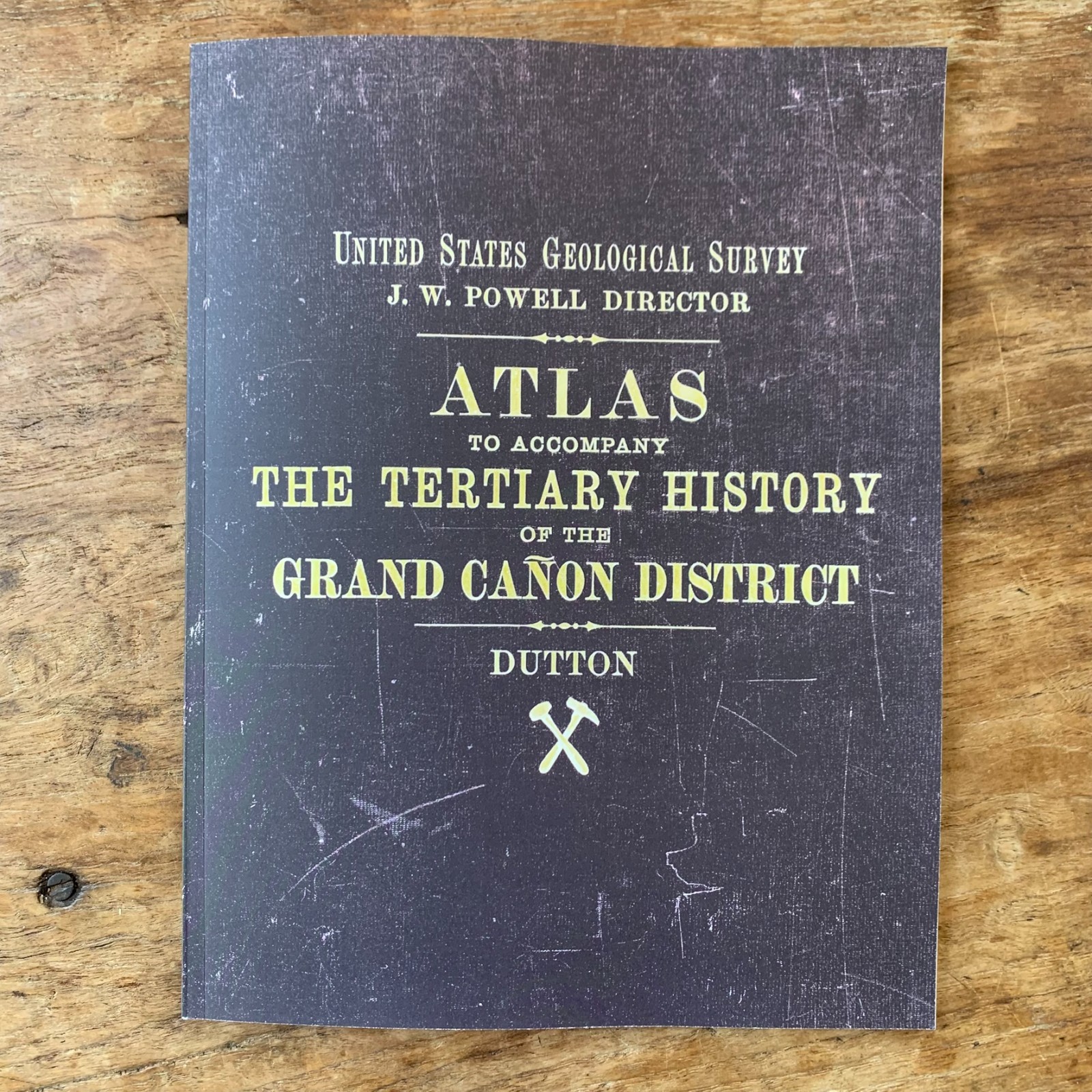
This full-color facsimile reproduces the Atlas to Accompany the Monograph on the Tertiary History of the Grand Cañon District by Captain Clarence E. Dutton of the United States Geological Survey, published in Washington in 1882 under the directorship of John Wesley Powell and printed by Julius Bien & Co. of New York. The atlas is the cartographic and pictorial companion to Dutton\'s Monograph II, the second-ever monograph issued by the newly established U.S. Geological Survey and one of the foundational works of American geology. Captain Dutton — a U.S. Army ordnance officer attached to Powell\'s survey — was the first scientist to systematically describe the Grand Canyon\'s stratigraphy and the surrounding High Plateaus, and his prose style remains among the most celebrated in the history of geological writing. The atlas is widely regarded as one of the finest publications ever produced by the U.S. Geological Survey and a landmark of nineteenth-century American scientific cartography.
Summary of Contents
The atlas pairs detailed topographic and geologic maps of the Grand Canyon District of northern Arizona with a remarkable series of large-format panoramic illustrations by William Henry Holmes and Thomas Moran — two of the foremost artists of the American West. Holmes\'s panoramas combine scientific precision with sweeping visual drama, depicting the canyon\'s cliff structures, mesa formations, and stratigraphic layers with a draftsman\'s accuracy that has never been surpassed. Moran\'s contributions bring the painter\'s eye to the same terrain, capturing the color, scale, and atmospheric grandeur that helped fix the Grand Canyon in the American imagination during the decades leading up to its eventual designation as a national park. The atlas also includes detailed sheets of the Kaibab, Kanab, Uinkaret, and Shivwits plateaus and the canyon walls themselves, providing the visual evidence for Dutton\'s geological interpretation of the region.
An essential reference for geologists and historians of geology, scholars of the U.S. Geological Survey and the great Western surveys, Grand Canyon and National Park Service researchers, collectors of nineteenth-century American landscape art, and admirers of the work of W.H. Holmes and Thomas Moran.
Color. 54 pages. 8.5\" x 11\".
Satisfaction guaranteed or you can send it back!