When you click on links to various merchants on this site and make a purchase, this can result in this site earning a commission. Affiliate programs and affiliations include, but are not limited to, the eBay Partner Network.
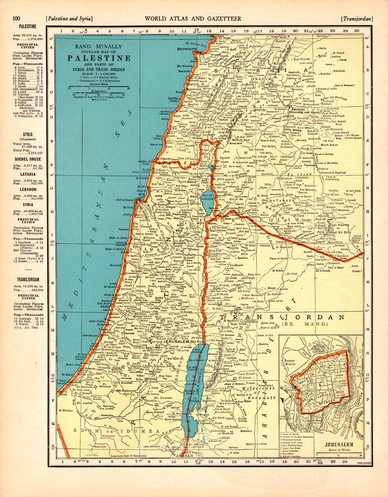
VINTAGE PALESTINE MAP
Including Syria and Trans-Jordan
This is a vintage Palestine map which was carefully removed from a Rand McNally atlas published in 1938.
The map measures approximately 11 by 14 inches.
It is in very good condition - note light creasing (especially on the bottom edge) and there is another map on the reverse side.
It will be carefully packaged in a plastic sleeve, and shipped within a cardboard mailing tube.
Please email with questions, we will answer your email promptly.
Please visit our store, Plaindealing Vintage Paper.
Be sure to add me to yourfavorites list!