When you click on links to various merchants on this site and make a purchase, this can result in this site earning a commission. Affiliate programs and affiliations include, but are not limited to, the eBay Partner Network.
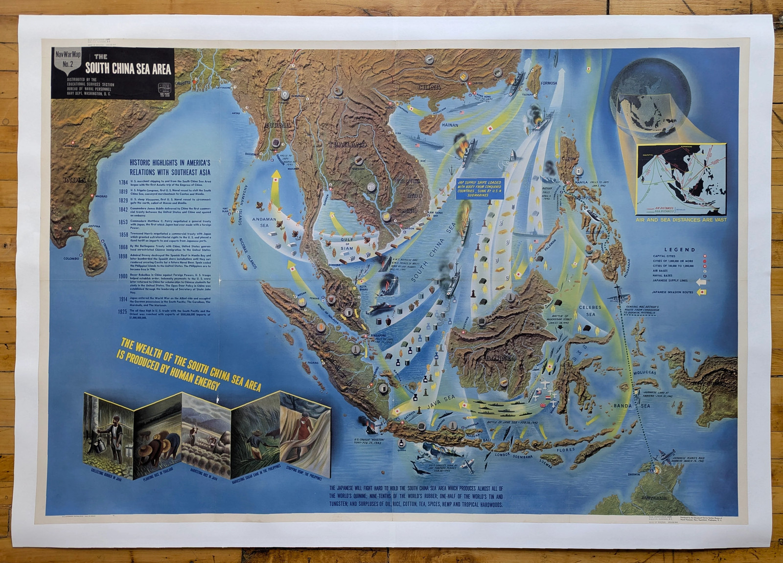
NavWar Map no. 2 focuses on Southeast Asia and the South China Sea, a region depicted as both a battleground and a storehouse of vital global resources. Produced in 1944 for the Bureau of Naval Personnel’s educational program, this chart sought to explain to American servicemen why Japan fought so fiercely for control of the area.
The map highlights the region’s immense wealth in raw materials—tin, oil, rubber, tungsten, tea, spices, and tropical hardwoods—that were essential for modern warfare and global commerce. By tying these resources directly to American strategic interests, the Navy underscored the stakes of the Pacific campaign.
The map graphically combines shaded relief with sweeping arrows that show Japan’s expansion across Southeast Asia and the islands of the South China Sea. Bright directional flows illustrate invasion routes, naval supply lines, and contested waters. Key cities, ports, and resource centers are marked with distinct icons, while inset illustrations highlight economic activities such as tin mining, tea harvesting, and oil drilling. A timeline at left traces America’s longstanding ties with Southeast Asia, beginning in 1784 with trade contacts and moving through milestones of diplomacy, commerce, and naval presence. The visual message is reinforced by the placement of aircraft, ships, and bases, which communicate both the reach of Japanese forces and the Allied counteroffensive.
This map illustrates the heart of Japan’s so-called “Southern Resource Area,” which Tokyo sought to dominate after cutting itself off from Western sources of oil and metals. Japan’s occupation of Indochina, Malaya, the Dutch East Indies, and the Philippines was not only a strategic expansion but also a offer for resource independence. For the Allies, regaining control of the South China Sea region was essential to cutting Japanese supply lines and reasserting access to these vital commodities. By 1944, major campaigns in New Guinea and the Philippines were already pushing back Japanese positions, and this map would have served to show Americans how these victories struck at the very foundation of Japan’s war economy.
About the NavWar Map Series
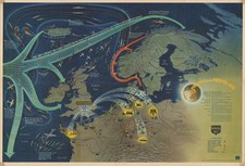
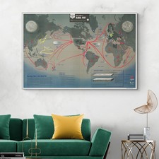
The NavWar Map series, produced in 1944 by the U.S. Bureau of Naval Personnel and printed by the Government Printing Office, represents one of the most ambitious visual educational projects of World War II. Issued as a set of six large-format pictorial wall charts, each measuring approximately 41 x 59 inches, the maps were designed to orient American servicemen to the global nature of the conflict, the geography of key theaters, and the Navy’s essential role in achieving victory. Distributed through the Educational Services Section in Washington, D.C., these maps blended dramatic graphics with accessible text, statistics, and timelines, turning complex military campaigns into striking visual narratives.