When you click on links to various merchants on this site and make a purchase, this can result in this site earning a commission. Affiliate programs and affiliations include, but are not limited to, the eBay Partner Network.
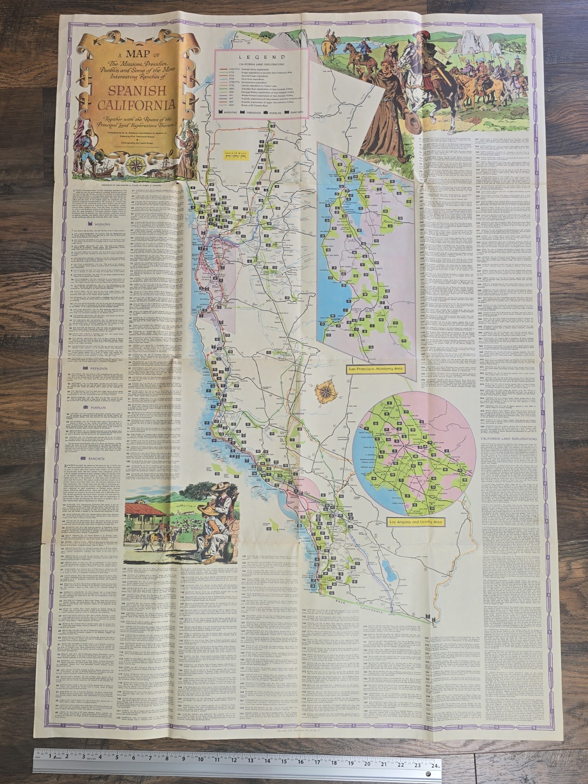
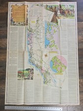
Original December 1956 Westways folding pictorial map published by the Automobile Club of Southern California.
Full title: “A Map of the Missions, Presidios, Pueblos and Some of the More Interesting Ranchos of Spanish California, Together with the Routes of the Principal Land Explorations Therein.”
This large illustrated historical map documents California missions, presidios, pueblos, Spanish and Mexican ranchos, land grants, El Camino Real, and principal exploration routes. Includes detailed Los Angeles and San Francisco–Monterey inset maps, approximately 280 numbered historic-site and rancho entries, and colorful period illustrations.
Compiled by W. W. Robinson and William H. Newbro, Jr.; edited by Phil Townsend Hanna; cartography by Lowell Butler; drawings by Ken Sawyer; color by Harry O. Diamond.
Marked December 1956, Westways, Vol. 48, No. 12. Reverse includes the original cover panel and “A Note of Explanation” by Phil Townsend Hanna. This is an original 1956 issue, not a modern reproduction.
Measures approximately 46 x 32 inches when fully opened.
Condition: Original folded condition with age toning, handling wear, creasing, light staining, and several small holes or separations at fold intersections. No major paper loss or tape repairs observed. Map appears complete and remains highly displayable.
Please review all photos carefully for condition and details. Sold as shown.