When you click on links to various merchants on this site and make a purchase, this can result in this site earning a commission. Affiliate programs and affiliations include, but are not limited to, the eBay Partner Network.
BARBIÉ DU BOCAGE, Jean-Denis (1760–1825) & Jean-Jacques BARTHÉLEMY (1716–1795).Recueil de cartes géographiques, plans, vues et médailles de l’ancienne Grèce, relatifs au Voyage du Jeune Anacharsis; précédé d’une Analyse critique des cartes.Paris: Chez De Bure l’aîné, 1790.
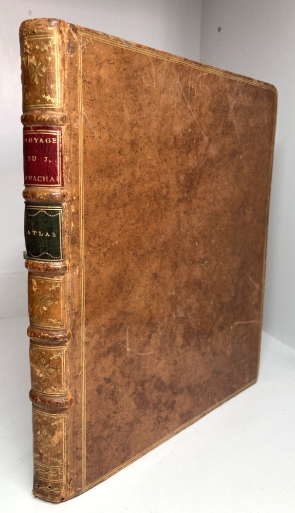
THIRD EDITION. Quarto atlas volume. Complete with 31 engraved maps, plans, views, and plates (including folding and double-page subjects with original hand-colored outlines). Bound in full contemporary tree calf.
A handsome, complete Enlightenment atlas of the ancient Greek world, compiled by celebrated French cartographer Jean-Denis Barbié du Bocage to accompany Abbé Jean-Jacques Barthélemy’s landmark work, Voyage du Jeune Anacharsis en Grèce.
First published in 1788, Barthélemy’s imagined journey of a Scythian traveller through 4th-century BCE Greece became one of the most celebrated works of the Neoclassical era, defining the European vision of classical antiquity. Barbié du Bocage—a pupil of the legendary geographer Jean-Baptiste Bourguignon d’Anville—synthesized ancient texts, classical itineraries, and 18th-century archaeological findings to create this authoritative cartographic apparatus. The volume opens with his scholarly Analyse critique des cartes, evaluating the classical sources and geographical methods employed.
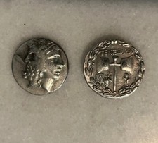
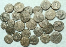
This 1790 Paris edition is complete with all 31 engraved plates (comprising 4 preliminary plates and 27 numbered subjects) illustrating regional maps, harbor charts, famous battlefields (Thermopylae, Salamis, Plataea), architectural plans, and ancient coinage. Preserved in its original full tree calf leather binding with bright, original hand-colored outline map borders.
SPECIFICATIONS & COLLATION
Binding: Contemporary full tree calf leather; spine divided by raised bands with gilt compartments and twin red and black leather title-pieces (Voyage du J. Anachar. / Atlas); gilt board edges; marbled page edges.
Plates & Cartography: Complete with 31 engraved plates (4 preliminary plates + 27 numbered plates), featuring folding and double-page maps of Attica, Athens, Sparta, Delos, the Peloponnese, Thermopylae, and the Black Sea, complemented by architectural views, theater layouts, and Greek coins.
Textual Contents: Includes Barbié du Bocage\'s preliminary essay, Analyse critique des cartes de l\'ancienne Grèce.
Imprint: Paris: Chez De Bure l’aîné, 1790 (Third Edition).
Format: Quarto (approx. 250 x 200 mm).
CONDITION REPORT
Binding: VERY GOOD. Solid and well-preserved contemporary binding. Minor rubbing to the joints, extremities, board corners, and spine caps; tree calf covers retain their characteristic mottling. Gilt decoration and leather labels remain crisp and fully legible. Hinges remain sound and intact.
Internal & Plates: VERY GOOD. Text block and plates are crisp and well-bound overall, with light scattered toning, minor foxing, and typical handling wear along the folds of larger plates. Plate 17 with a small loss to one outer blank margin corner (well clear of the engraved image). Original hand-colored outline borders remain vivid and clean.