When you click on links to various merchants on this site and make a purchase, this can result in this site earning a commission. Affiliate programs and affiliations include, but are not limited to, the eBay Partner Network.
The Prints Collector
Original Antique Maps and PrintsABOUT USVISIT OUR STORE
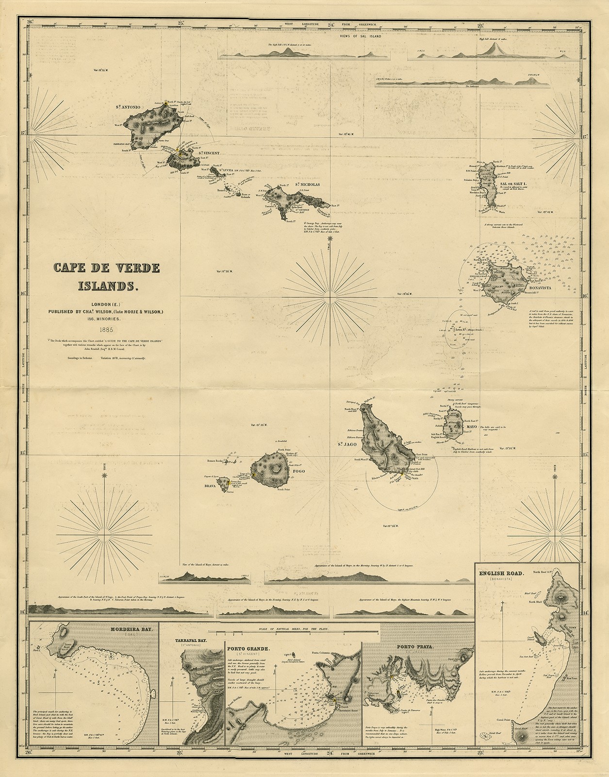
Antique Print-SEA CHART-CABO-CAPE />
Description: Published by Charles Wilson, who ran the well-known nautical warehouse Norie & Wilson in London. The map is dated 1885.Artists and Engravers: Made by an anonymous engraver after \'Charles Wilson\'. Publisher: Charles Wilson (Late Norie & Wilson).
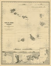
Subject: Antique print, titled: \'Cape de Verde Islands.\' - A sea chart/ nautical map of the Cape Verde islands in the Atlantic Ocean, off the coast of Africa. The islands are Brava, Fogo, Santiago, Maio, Boa Vista, Sal, Sao Nicolau, Santa Lucia, Sao Vicente and Santo Antao. The map shows several inset island profiles of Maio, Santiago and Sal. Small inset maps detail the harbour areas of the major islands. Depth soundings are given, as well as the locations of lighthouses (the coloured dots).
Condition: Good, given age. Original middle fold, as issued. Two small tears in the left margin. Some faint offsetting in the image area. General age-related toning and/or occasional minor defects from handling. Please study scan carefully.
Size (in cm): The overall size is ca. 69.3 x 87.9 cm. The image size is ca. 64.6 x 82.8 cm.
Size (in inch): The overall size is ca. 27.3 x 34.6 inch. The image size is ca. 25.4 x 32.6 inch.
Medium: Engraving on wove paper.
Location: GK-103
SKU: TPC 63903.1
Section: TPC-SEA CHARTS
ThePrintsCollector - LaurentiusOldMasterPrints
Frans Laurentius
Margo van Latum-van Dongen, Frank van Latum
Located in Zeeland (Noord-Brabant)- The Netherlands
Free worldwide shipping on all orders of $70 or more.
We ship our items to all locations worldwide.
We ship within two business days upon receipt of payment.
We ship by registered mail. Insurance is included.
GO TO OUR STORE and explore our huge collection of fine antique maps and prints.
We only accept payments via Paypal.
Combined orders are possible! We will send a Paypal invoice on request!
THE PRINTSCOLLECTOR GUARANTEES ITEMS SOLD THROUGH ARE GENUINE ORIGINAL
ANTIQUE PRINTS IN THE CONDITION/TECHNIC AS DESCRIBED. ITEMS CAN BE RETURNED WITHIN 30 DAYS.