When you click on links to various merchants on this site and make a purchase, this can result in this site earning a commission. Affiliate programs and affiliations include, but are not limited to, the eBay Partner Network.
European Russia & Baltic region • Original hand coloring • Matted and Ready to Frame
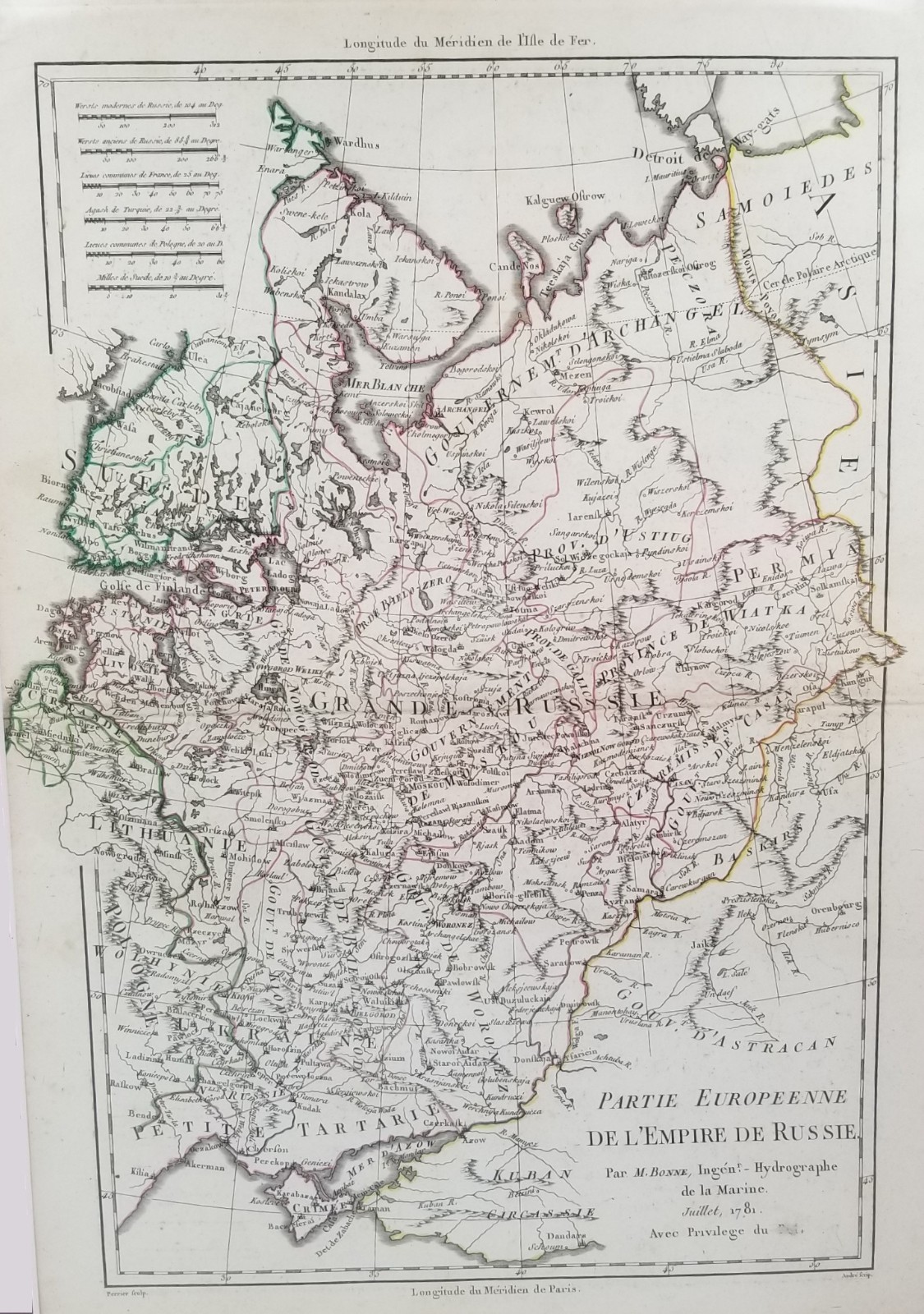
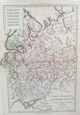
An original 1781 engraved and hand-colored map of European Russia by Rigobert Bonne, one of the important French cartographers of the late 18th century.
Titled Partie Européenne de l\'Empire de Russie, the map depicts the vast European territories of the Russian Empire, extending from the Baltic and Finland eastward toward the Ural region and from the Arctic Ocean south to the Black Sea and Crimea.
The map is exceptionally detailed, identifying cities, towns, rivers, lakes, provinces and regional divisions across the empire. St. Petersburg and Moscow appear amid a dense network of settlements and waterways, while the western portion encompasses Finland, Lithuania and territories bordering Poland. To the south are the Black Sea, Crimea, Sea of Azov and Kuban, while northern Russia stretches toward the White Sea and Arctic coast.
Particularly fascinating are the map\'s 18th-century place names and political boundaries, documenting the Russian Empire during the reign of Catherine the Great. Original outline hand coloring distinguishes territories and boundaries while allowing Bonne\'s detailed engraved geography to remain prominent.
The title cartouche identifies M. Bonne, Ingénieur-Hydrographe de la Marine, and dates the map Juillet 1781. The plate is signed André sculp. at lower right and Perrier scrip. at lower left.
Excellent antique condition. The visible map area is exceptionally clean and well preserved for an original 1781 engraved map, with crisp cartographic detail and attractive original hand coloring. The dark reddish-brown mat provides a particularly handsome presentation. Older protective shrink-wrap shows light scuffing and storage wear and does not affect the map or mat. The map is sealed; the verso and portions concealed by the mat have not been examined. A bibliographic caption is pasted on the backside.
Title: Partie Européenne de l\'Empire de Russie
Cartographer: Rigobert Bonne
Engraver: André
Place: Paris, France
Date: July 1781
Format: Original antique map
Production technique: Engraving
Coloring: Original hand coloring
Material: Paper
Overall matted size: 18\" x 13.5\"
Visible opening: 14\" x 10\"
Orientation: Portrait
Framing: Unframed
Presentation: Dark reddish-brown mat, backed, and protective shrink-wrap
Geographic Region: European Russia, Baltic region, Eastern Europe
Features: Russian Empire, St. Petersburg, Moscow, Finland, Baltic region, Lithuania, Crimea, Black Sea, Sea of Azov, rivers, cities and provincial divisions
Provenance: From the Oddfellow\'s Collection
This is an original 1781 engraved and hand-colored map, not a modern reproduction.
📦 All maps and prints are carefully wrapped and shipped with tracking. Combined shipping is available.
📸 Please review all photographs carefully for condition, signature, and publication details, and feel free to reach out with any questions.