Heat.net Store Home
|
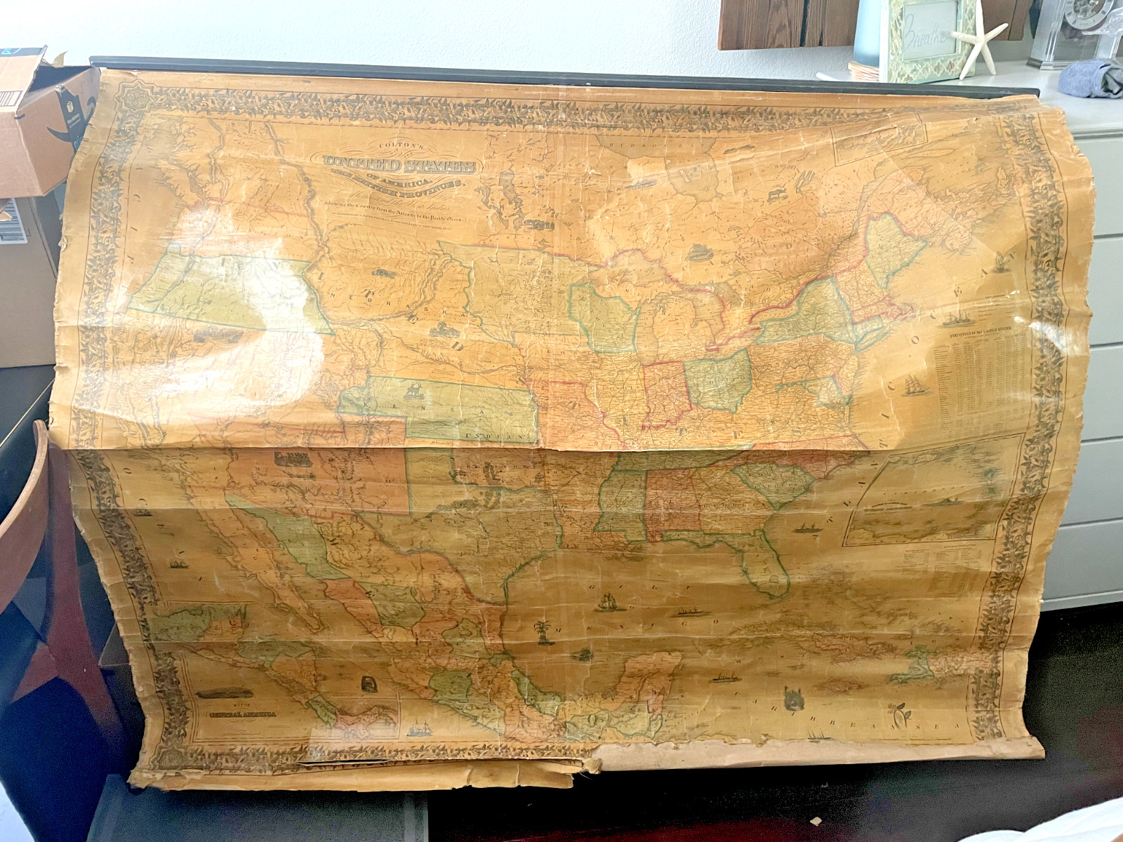
J.H. Colton\'s Map of the United States of America, The British Provinces, 1855 For Sale

When you click on links to various merchants on this site and make a purchase, this can result in this site earning a commission. Affiliate programs and affiliations include, but are not limited to, the eBay Partner Network.

J.H. Colton\'s Map of the United States of America, The British Provinces, 1855:
$199.00
J.H. Colton\'s Map of the United States of America and the British Provinces from 1833 is a rare and valuable antique piece for collectors and history enthusiasts. This political map, created by renowned cartographer J.H. Colton, offers a unique glimpse into the geography and political landscape of the United States during the early 19th century. With its detailed depiction of the country\'s jurisdictions and territories, this map provides a valuable insight into the past and serves as a cherished piece of North American cartographic history.The map is in generally fair- poor condition. The wood frame at the top is attached and the colors are bright, however there is cracking and tearing throughout.
|
|
Other Related Items:
Related Items:
J.H. Colton's Map of the United States of America, The British Provinces, 1855 $199.00
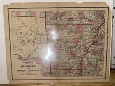
RARE J.H. Colton's Map of Arkansas and Indian Territory 1860 Native American $149.99
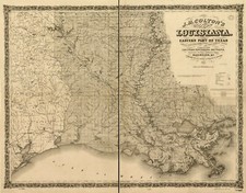
18" x 24" 1863 J. H. Colton's of the state of Louisiana and eastern part $59.99
|
