When you click on links to various merchants on this site and make a purchase, this can result in this site earning a commission. Affiliate programs and affiliations include, but are not limited to, the eBay Partner Network.
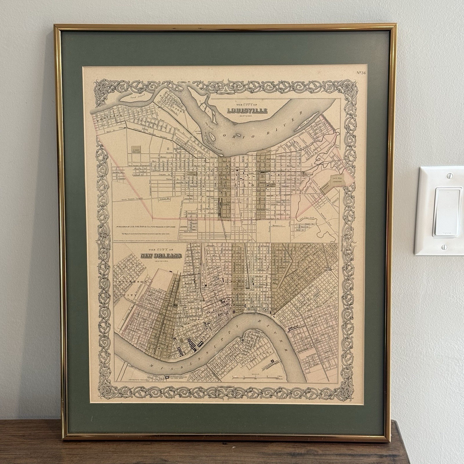
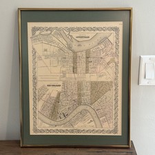
Antique map displayed under glass in a gold-tone frame with dark green matting. The map has expected age-related toning, scattered foxing/spotting and fading to the original-style pastel coloring. No major tears are visible through the glass. The frame has scratches, scuffs and finish wear from age and display. It has not been removed from the frame, so the reverse, complete margins and mounting method have not been inspected. Please review all photographs carefully for the exact condition.
Antique J.H. Colton city map featuring detailed plans of Louisville, Kentucky and New Orleans, Louisiana on a single sheet.
The map is marked “Published by J.H. Colton & Co., No. 172 William St., New York” and carries an 1855 copyright line. It is identified as plate No. 34 and was originally created for Colton’s mid-19th-century Atlas of the World.
Both cities are depicted at the same scale with detailed individual streets, waterways, railroad lines, depots, cemeteries, hospitals and important public buildings. Louisville appears above the Ohio River, while New Orleans is shown along the Mississippi River. The sheet is surrounded by Colton’s distinctive decorative scroll border and features subtle period-style pastel coloring.
Notable mapped locations include:
• Cave Hill Cemetery
• Louisville & Frankfort Railroad Depot
• City Marine Hospital
• St. Vincent Orphan Asylum
• New Orleans & Opelousas Railroad Depot
• Claiborne Canal
• Annunciation Square
• Mechanics Village
• Ohio and Mississippi Rivers
The complete framed piece measures approximately 16 1/4 inches wide by 20 1/2 inches tall. It is presented under glass with dark green matting and a narrow gold-tone frame.
Based on its correct publisher information, plate number, dimensions, paper appearance and printed details, this appears consistent with an original 1855–1856 Colton atlas map rather than a modern decorative print. However, it has not been removed from the frame, and no professional authentication is included.
Condition:
The map exhibits age-related toning, scattered foxing and small spots, along with fading to portions of the hand coloring. No major tears are visible through the glass. The frame has surface scratches, scuffs and finish wear. The reverse and mounting method have not been inspected.
Please examine every photograph closely. The framed map shown is the exact item the buyer will receive.