When you click on links to various merchants on this site and make a purchase, this can result in this site earning a commission. Affiliate programs and affiliations include, but are not limited to, the eBay Partner Network.
Description
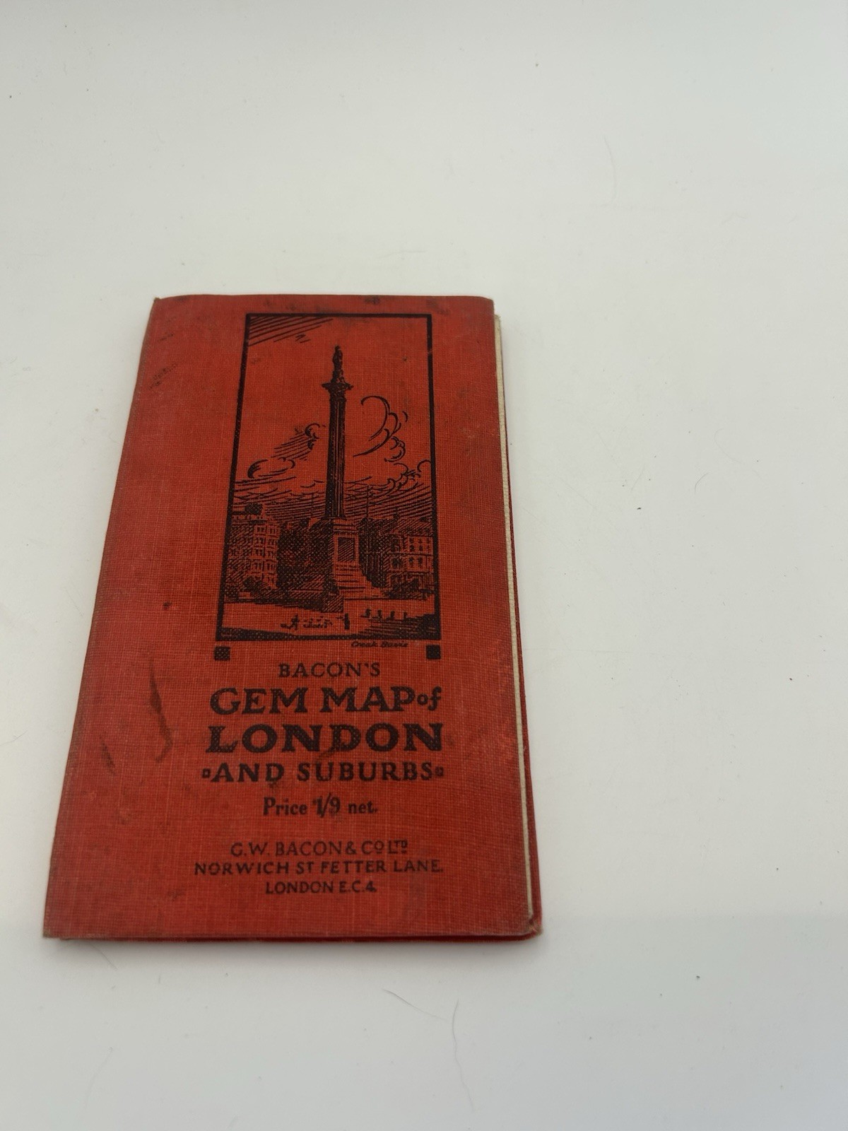
Bacon’s Gem Map of London and Suburbs
Published by G.W. Bacon & Co. Ltd.
Norwich Street, Fetter Lane
London E.C.4
A charming early 20th-century pocket map of London featuring a linen-backed folding map designed for durability while traveling.
These compact guides were popular with visitors and residents navigating London before modern street maps.
Features:
• Fold-out linen-backed color map
• Street index and location directory
• Public buildings and railway station index
• Compact pocket travel format
The inside front page includes a handwritten note referencing:
“French R.C. Church – Notre Dame de France, 5 Leicester Place – L. Sq.”
which adds a personal historical touch.
Condition
Fair antique condition.
• Fold-out map present and intact
• Linen backing still strong
• Covers show wear and light staining
• Interior pages age toned
• Some edge wear and small tears near fold area
Please review photos carefully for condition.
Shipping
Will ship carefully protected to preserve the folding map.